Hello all who are following this thread. I promised to come back when some progress is done so here we go.
In a nutshell, the project goes better than expected.
SourcesI get relatively precise location of navaids from geolocated 1958 sectionals. This database is then enriched with data from Airman's Guide (March 1958) and Radio Facility Charts (April 1958), e.g. ranges of the navaids, ILS data, LOMs, LMMs, markers... The latter provides also list of all navaids with lat/lon coordinates which will considerably speed up the work.
Magnetic VariationHervé Sors from
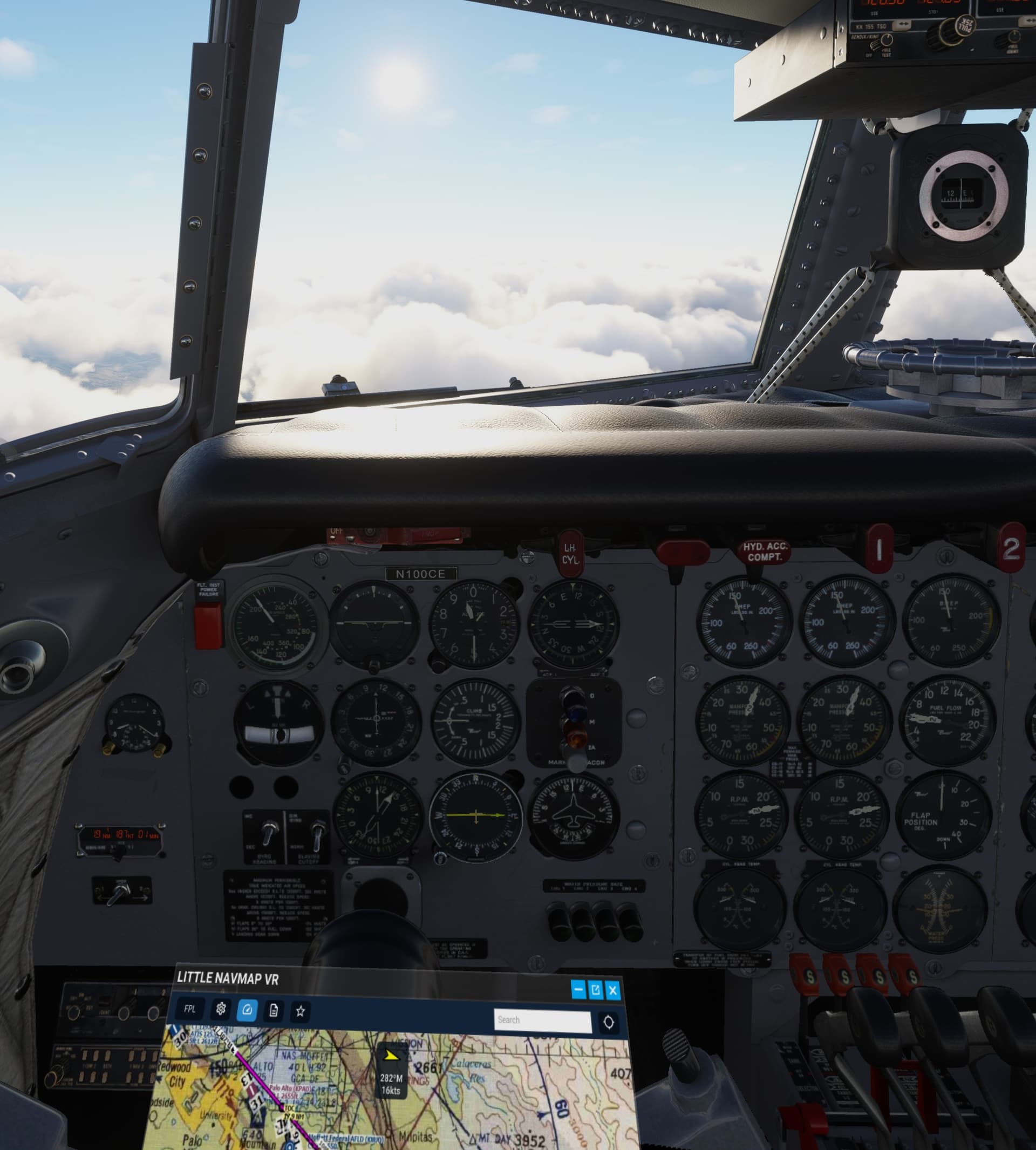
aero.sors.fr was kind enough to generate magdec.bgl which brings the MSFS magnetic variation model to 1950s. This obviously allows to fly radials depicted on the 1958 sectionals on corresponding magnetic headings. Tested and works great.
Also all the VORs are created with historically correct magnetic declination (basically aligned with the 1950s magnetic north).
Test AreaI created test area covering states of California, Nevada, Oregon, Washington, Hawaiian Islands and two smaller areas around Boston and Miami (19 sectionals and about 20% of lower U.S.).
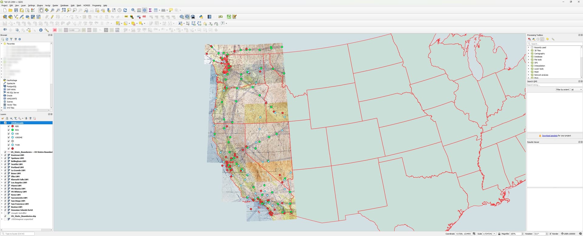
The test MSFS scenery introduces almost 300 navaids as of April 1958 over the territory mentioned above. The scenery includes correct historical magnetic variation which allows to prepare a flight with the 1958 sectionals and actually fly the route with correct historical VOR radials, magnetic headings and ILS inbound headings.
Test flights confirm all works as it should.
 Limitations
How about some historical approaches no longer possible to be flown in the sim?
The scenery in question does not intend to alter landscape or structures. So while a hill probably has not moved (much) over the last 60 years, theoretically there may be new antennas and man-made structures in the way of some historical approaches. Though I yet have to see one.
I suppose many approaches changed of course for various reasons like urban development, noise abatement procedures or closed / new runways.
Is it worth it?It is of course possible to fly classic propliners with the current AIRAC cycles. So for some, the effort may not be worth it in the end.
However for others, using real historical materials to prepare a flight and eventually fly it might add yet another level of immersion not experienced in a sim so far.
I personally fall in the second basket, so to speak. Moreover, I enjoy very much researching this subject and finding a way how to implement it in the sim.
Besides, many classic navaids are disappearing with every AIRAC cycle.
Just to illustrate: In California in 1958, there were some 58 NDBs (incl. LMMs and LOMs). Nowadays this number goes down to 23. This impacts also NDB approaches of course. According to data available, there were almost 700 NDB approaches in the U.S. in 2014 but in 2024, according to official data not even 200 of them remain.
PlansIf the time and enthusiasm allows, I will progress with other sectionals. As mentioned above, the lat/lon coordinates included in one of the sources will speed up this work considerably.

With the data I have, I will also update the low-frequency radio range database used by ElectronVolt’s
Radio Range Navigation addon for MSFS to reflect the network as of 1958.
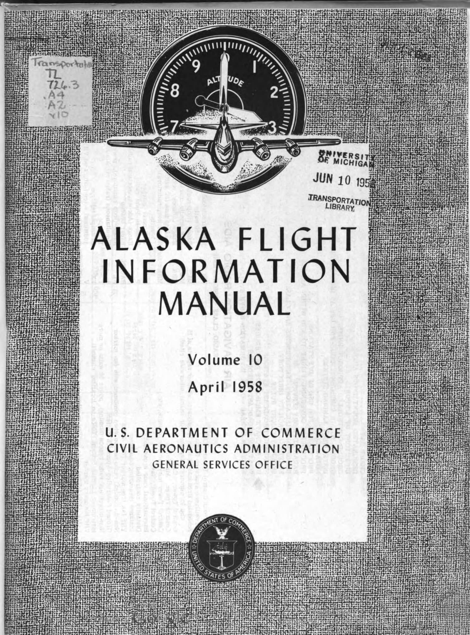
And since few days ago I got my hands on good data for Alaska (also from April 1958 with lat/lon coordinates for the navaids to the nearest second), it will be part of the scenery too.
 Thank you
I came to CalClassic forum to ask for help regarding where to look for sources of information for this project.
And you delivered

for what I am grateful and I appreciate it!
As you have probably noticed, this scenery will be released for benefit of the community flying MSFS. There are no plans to target other platforms (FS9, FSX, P3D).
Having said that, I am more than happy to share the final darabase of April 1958 navaids (with all relevant information to build a flight sim scenery) with you here.
Please let me know in case you are interested.
Milan


 Only the one from 1959 is 2000+ pages long (apparently it is a set of 26 numbers of vol 14). Still need to go through it in more detail (the scan quality is not great).
 I will pick a test area (=one not too busy sectional) and will work on it to see how it goes.

 for what I am grateful and I appreciate it!